Sharing What We Learned About VDOT Myths and Mathews Drainage

Since the fall of 2011, I’ve been digging into the reasons for flooded land and ditches in Mathews. G.C. Morrow taught me the basics of ditches and we formed The Ditches of Mathews County project in early 2012.  We thought identifying the causes of drainage issues and working out solutions would help VDOT. When VDOT said they needed temporary easements to address outfall maintenance, we tracked owners through tax records and internet resources. G.C. visited local folks and called some who lived in other states. All were glad to help. But apparently, VDOT had other ideas.

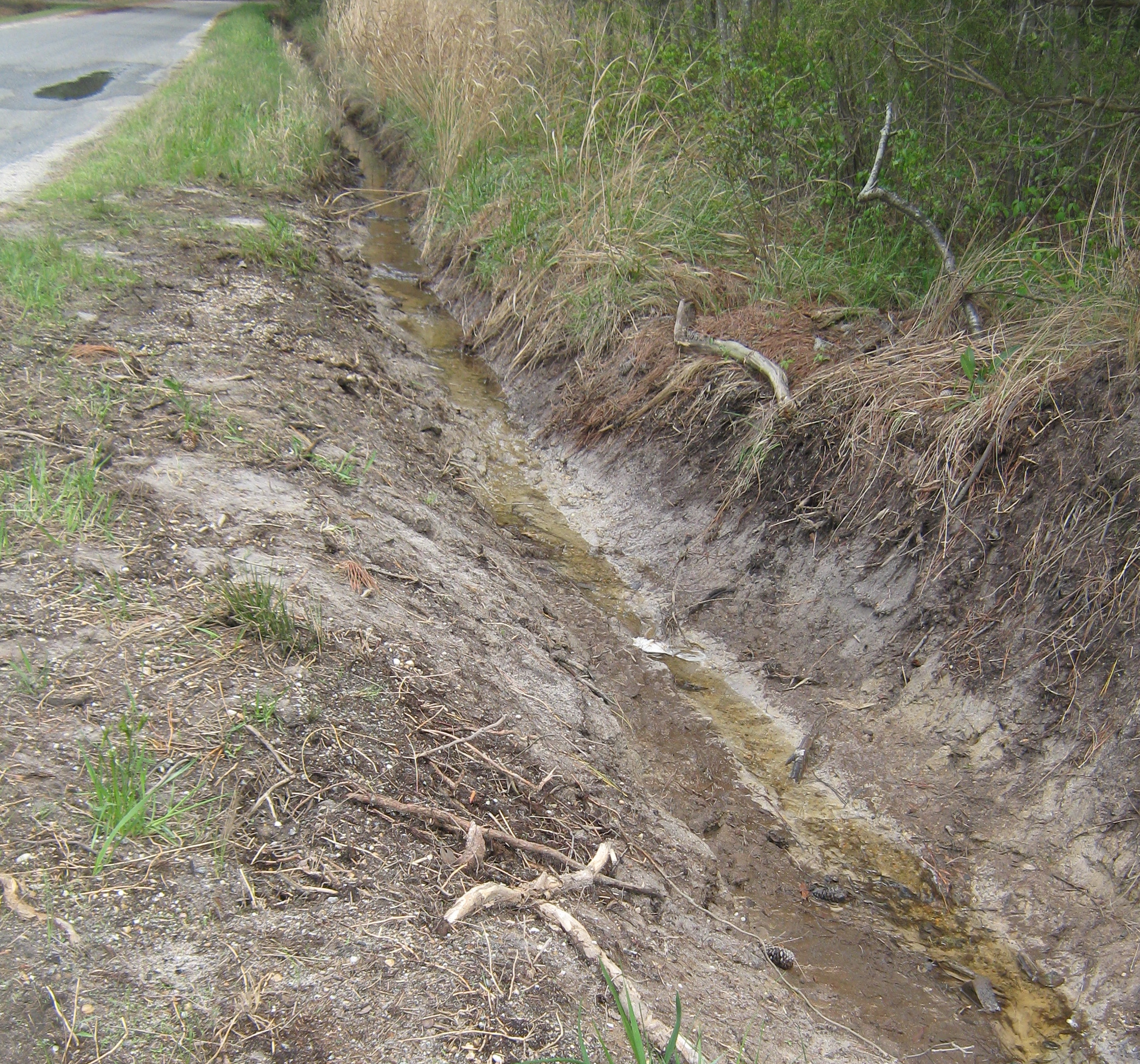
Two small outfalls were cleaned on 609, and the water drained a considerable area that had been flooding from road drainage for years. The third project opened the outfall between Canoe Yard Trail and 609, but in the process, the VDOT contractor blocked the outlet to a second outfall. Months passed, and after the District Administrator Quintin Elliott and Resident Engineer Sean Trapani accompanied us on a tour of problem spots, VDOT finally addressed a dead tree preventing the roadside ditch on Canoe Yard Trail from draining to the outfall. But the cleaning of 609 pipes needed to drain the roadside ditches near the tidal marshes didn’t happen. The one time we know the pipe truck arrived–it came at high tide. And never came back to do the job.

We kept working on gathering information, and the story that emerged was not a pretty one. Going through the Board of Supervisors’ meetings, month after month for thirty-odd years was a test of endurance. Transcribing key sections and sorting by topic and choosing which statements would illustrate the ongoing saga felt like an impossible task for a time. Eventually, though, the outline emerged showing how three years of VDOT/County revenue sharing projects ran on into the sixteenth year, and how those involved seemed to forget the original reason for the projects.

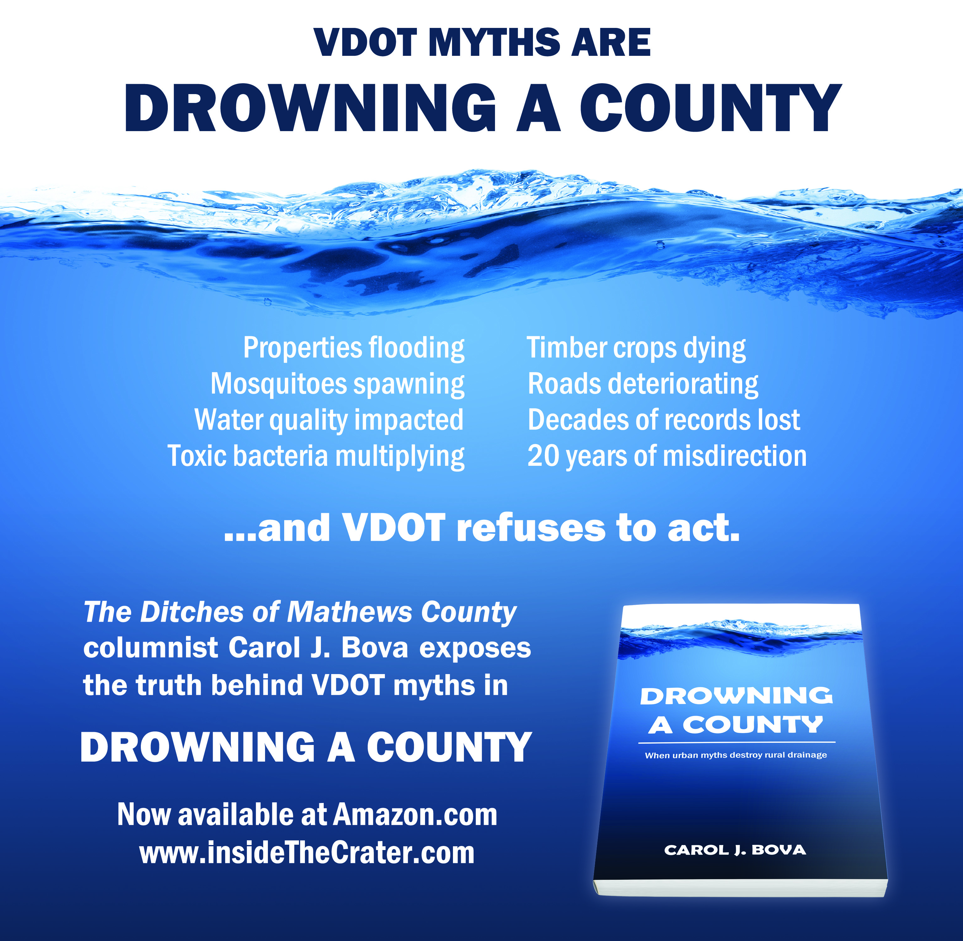
It’s all laid out now in Drowning a County, and everyone reading it will see what happened and when, and more importantly, what didn’t happen that should have. The pattern of County Supervisors and Administrators forgetting or overlooking details of agreements with VDOT and accepting incorrect statements without challenge cannot be allowed to repeat itself now and in future years. Drowning a County can provide the facts and the history to help our leaders and our citizens avoid being misled even once more by VDOT mythology.


Springing Forward

Inside the Crater went silent a year ago, but life kept on moving ahead, dragging and pushing me along too. With the time change this morning to move ahead an hour for Daylight Savings Time, I thought this would be a good time to reactivate Inside the Crater.

VDOT finished a part of the Canoe Yard Trail outfall and roadside ditch last year, so the rainfall runs crystal clear to the marsh now.

1545092_571497736259832_880957770_n

This is our one shining success story for the Ditches of Mathews County Project, even if it’s incomplete, but we’ll accept it with thanks. It proves what we’ve said all along: if the roadside and outfall ditches are cleaned, have the proper grade and the pipes are open–Mathews has no trouble draining its stormwater, even in Onemo with its low elevation.

The EPA approved our TMDL Implementation Plan to improve the water quality in the Piankatank/Milford Haven/Gwynn’s Island watershed, but the Ditch Maintenance Task Force recommendation still needs to be organized. It’s on my list, after I finish my book, Drowning a County.

Drowning a County traces the history of highway drainage in Mathews County and the institutional myths the Virginia Department of Transportation’s used to explain away their failure to maintain their systems for decades. The book debunks those myths with published mainstream scientific information, translated into normal English.

To do this, I tracked down Army Corps of Engineers hurricane surveys from the 1950’s and 60’s and a 1980 drainage study of the Garden Creek watershed. I learned a lot about Mathews County in reading through 34 years of Board of Supervisors minutes about ditches and VDOT and the revenue-sharing for ditches saga from 1993 to 2008.

Wetlands ecology wasn’t on my reading list, but turned out to be an essential element, aided by the Mathews Memorial Library’s acquisition of an excellent textbook.

GC Morrow taught me how to find overgrown outfall ditches and probe for pipes under the road that could no longer be seen and how to use topo maps to track the streams channelized as outfalls.

Blue dashed lines were drainage structures and streams in 1965–some of which are now totally obstructed. Image courtesy of USGS from Mathews topo map

Can’t count how many wonderful Mathews residents stopped to see if I needed help while photographing ditches from the roadside. And that is probably the biggest factor in why I kept going on this project: the people of Mathews. They are good people with a long history here. They’ve kept the environment in such good condition that if the ditches could drain to the appropriate creeks and rivers and carry fresh rainwater, nature could solve a lot of the E. coli problem the TMDL plan addresses.

But VDOT mythology turned highway ditches into retention ponds filled with muck and algae and stagnant water.

Algae in flooded ditch with blocked pipe

This spring, VDOT just might realize their mythology has kept the roadbeds saturated and caused more freeze damage  to the roads this winter than they ever imagined.

For me, I’ve made it through the winter and over the despair of feeling I’d taken on an impossible task. Spring is on the way, and Drowning a County is on the way to completion too.

Check out Carol’s Ditches of Mathews County columns at http://ChesapeakeStyle.com.