Public Meeting for Piankatank – Milford Haven TMDL Implementation Plan Feb 27, 2013, 6-8 PM

Mathews High School 9889 Buckley Hall Rd. (Route 198 near 14)
As a result of the the Clean Water Act, we have to show how we’re going to deal with the problem of waters condemned for excessive E. coli bacteria levels in a Piankatank/Milford Haven TMDL Implementation Plan. TMDL (total maximum daily load), is the maximum amount of nitrogen, phosphorus, sediment or bacteria a waterway can handle without exceeding acceptable levels.

We are fortunate here that those before us kept the waters clean, and the only factor we need to address for 16 specific areas* in Mathews, Gloucester and Middlesex is the bacteria in the water. Currently, the recreational standards are met, but not those for shellfish.  While shellfish water standards are much stricter than recreational standards, we don’t have the regulatory option to downgrade the use of our bays, creeks or rivers. Commonwealth policy states “the existing uses shall be maintained and protected.”

The first TMDL public meeting last May in Hartfield brought up a lot of questions and concerns. There were two work group (residential and business) meetings and a steering committee meeting and many emails since then to cover each point and to challenge the numbers and statistics first presented last year. I am very pleased to say that the state agency people from DCR and DEQ took our concerns input to heart and have updated the numbers and facts based on actual counts where available, and best estimates provided by local citizens where exact numbers were impossible. They have also affirmed there is no intention to force us into any HRSD expansions.

We still need to review the Implementation Plan at this public meeting in February, but I believe we can accept and live with the plan.  Please make every effort to attend. This is something that affects all of us in one way or another. If you or a neighbor cannot attend, there is a 30-day comment period after the meeting. At that point, after any changes made as a result of the meeting or comments, the plan is ours to follow for the next 10 years.

*The areas to be covered by this IP, in addition to parts of the Piankatank River, are:
Mathews: Edward and Barn Creeks on Gwynn’s Island; Cobbs, Queen/Winder, Lanes, Stutts, Morris, Hudgins, and Billups Creeks
Gloucester: Harper, Dancing (Dancer), Ferry, French’s Creeks
Middlesex: Wilton, Healy Creeks


Are Year-round Geese Part of the Water Contamination Problem?

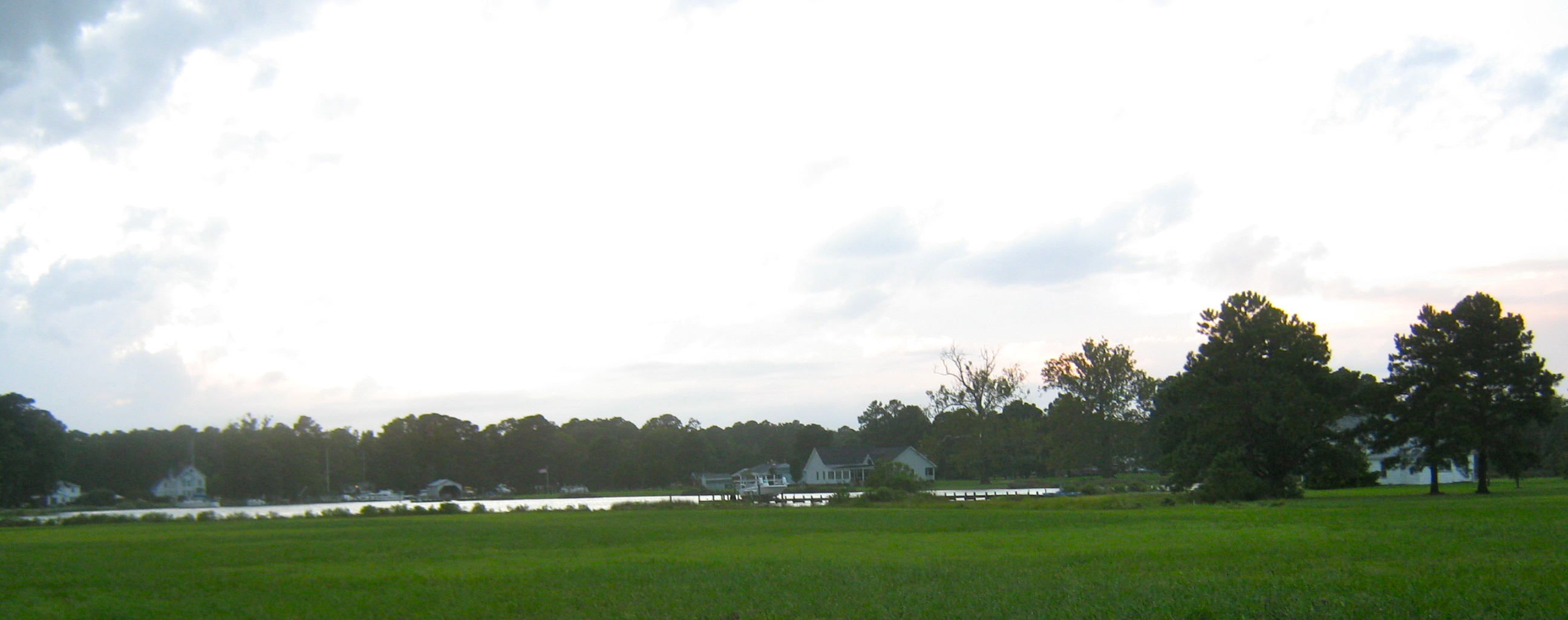
Sunset facing mouth of Queen’s Creek courtesy of Davie Cottrell©

Each impaired shellfish area has unique challenges, so this post is only about Queens Creek, which is listed in the 2007 Gwynn’s Island-Milford Haven watershed TMDL report. It states “septic systems should be a primary implementation focus because of health implications….” Like many official statements, it sounds good at first hearing, but if septic systems are failing near Queens Creek, why would the human contamination drop to 0% on any month’s reading, much less for 3 of 6 readings taken between October, 2005 to August, 2006? But Figure 4.6 B shows 74% for the average annual fecal coliform contributions from wildlife.

Residents on Queens Creek have seen the geese population go from staying half the year to settling in year-round. Does that have anything to do with the high wildlife contributions? Can’t tell from the reports because the details aren’t provided, only totals and percentages for ‘wildlife’.

Mouth of Queen’s Creek courtesy of Davie Cottrell©

Other questions are, “Do the geese increase the phosphorus load too? Are they causing any additional shoreline erosion by eating young shoots?”

 And we need to consider whether there are other conditions that  are making the situation worse? Where are the computer models for evaluating the impact of the lack of dredging? The waters in Queens Creek used to be navigable, but they’re not for many craft today. If the Creek is dredged, would more water flow in and out with each tide change the capacity to process the impact of wildlife contamination? How much has settled in the silt at the bottom of the shallower creek to be stirred up by storms? (And on a separate point, if dredged material is spread in the sun, can the natural UV  disinfect it so it would then be usable to nourish the marshes that are being eroded by wave action and storms?)

But as things stand, continual contamination means the waters have no possibility of recovery naturally, so what happens to the areas further downstream?

The report acknowledges that for some areas, “water quality modeling indicates after removal of all of the sources of bacteria (other than wildlife), the stream will not attain standards under all flow regimes at all times. However, neither the Commonwealth of Virginia, nor EPA is proposing the elimination of wildlife to allow for the attainment of water quality standards….The reduction of wildlife or changing a natural background condition is not the intended goal of a TMDL.”

What is their plan? Even if all the effluent, pet and livestock elements are reduced as far as humanly possible, according to the 2007 report, the bottom line is the state agencies don’t plan to do anything–except change the assigned use of the waters–probably permanently.

It’s relatively easy for TMDL plans to go after the obvious 8% human element, 9% livestock and 9% pet contamination the state tests indicate. It’s not going to be easy to deal with the rising population of geese, but information is available about how to address the problem. Now we have to see if our state agencies are going to go beyond the obvious and deal with the 74% of bacterial contamination attributable to wildlife. Wonder if we’ll find out on the 23rd.